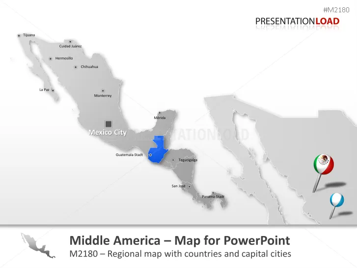
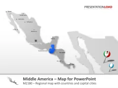
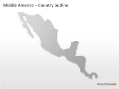
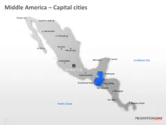
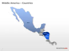
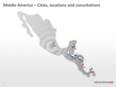
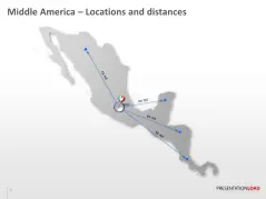
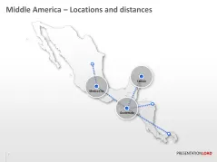
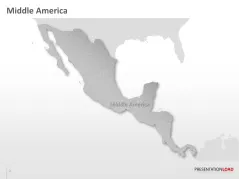
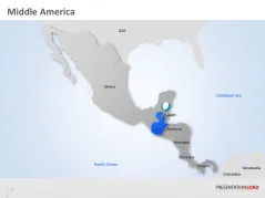
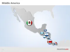
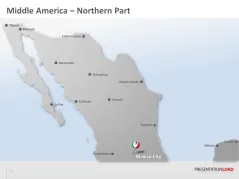
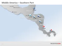
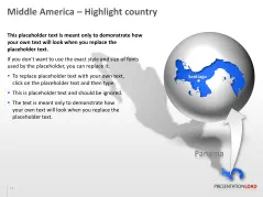
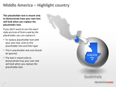
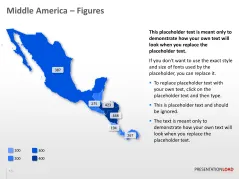
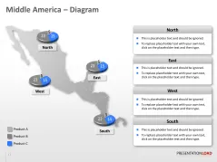
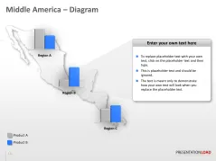
Editable "Central America Map" with states and major cities for PowerPoint presentations.
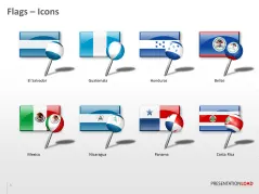
Display locations, regional features and sales areas with this Central America map. All maps are already designed in a PowerPoint- Template and optimized for your business- or marketing presentation. All map parts and separate country-boarders are drawn in great detail and consist of separately editable vectors which can be easily adjusted and colored to your requirements. Text and location description can be edited or deleted directly in PowerPoint. This set contains the county boundaries of the following States: Mexico, Guatemala, Belize, Nicaragua, Honduras, El Salvador, Costa Rica und PanamaCompatibility note: This product is designed for PowerPoint versions 2007/2010 and 2013. Older PowerPoint or Mac versions may show compatibility difficulties. To open the pptx file in PowerPoint 2003 the “Microsoft Office Compatibility Pack” is required. It can be downloaded on the Microsoft Homepage free of charge.


Recommended for you
Customer also bought: