Commercial offer only***
Hawaii Counties

Hawaii Counties PowerPoint Template

(M1110)

Editable Country map 'Hawaii Counties' for Microsoft PowerPoint presentations (incl. main cities and streets).

$19.00*
Quantity of slides16
Price / Slide1.19 $
Format of slides4:3
LanguagesDE + EN
Instant Download:
  • 100% Editable Powerpoint Slides / Graphics
  • Outstanding Customer Support
  • SSL Secure Payment
  • Made in Germany

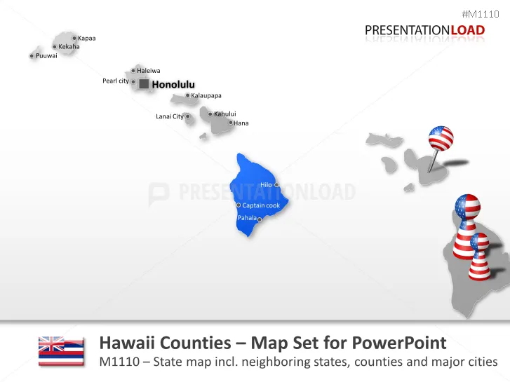
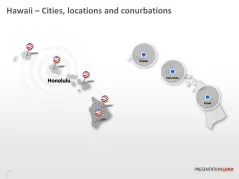
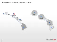
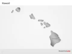
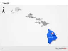
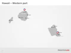
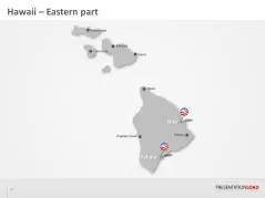
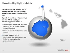
Editable PowerPoint country map of Hawaii includes counties and large cities

With this digital PowerPoint country map, you can display locations, marketing- and market areas. This Hawaii map in vector- format for PowerPoint includes Hawaii with county boarders, large cities, interstate Highways, largest waters and the neighboring states. You can color, edit and adapt the size of the detailed country map without any loss of quality. You can change and delete already existing texts and inscriptions.
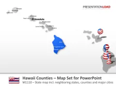
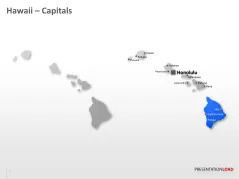
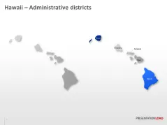
Hawaii Counties
Hawaii Counties
Hawaii Counties
Hawaii Counties
Hawaii Counties
Hawaii Counties
Hawaii Counties
Hawaii Counties
Hawaii Counties
Hawaii Counties
Hawaii Counties
Hawaii Counties
Hawaii Counties
Hawaii Counties
Hawaii Counties
Hawaii Counties